tool · draft
God's Eye View
Open-source browser globe by Bilawal Sidhu and Sameh Khamis that puts live public feeds on Google's photorealistic 3D tiles: aircraft, ships, satellites, earthquakes, fires, weather, public cameras.
What is reusable: open sourcepartly open dataAPI unknownopen participation MITThe code is MIT; each bundled or live dataset keeps its own terms, and the bundled Nepal flood scene is non-commercial.
God's Eye View grew out of a video series of the same name, earlier called WorldView, in which a 3D globe tracks live aircraft and ships in the look of a military operations room. The code was opened in 2026 under the MIT licence. The maintainers are Bilawal Sidhu and Sameh Khamis at Halfpixel.
It runs in the browser on your own machine and starts without any API keys. The planet is Google Photorealistic 3D Tiles drawn with CesiumJS, in plain JavaScript with no framework. Layers include:
- aircraft from OpenSky and ships from AISStream
- satellites placed from their published orbital elements
- earthquakes from the USGS catalogue, fires from FIRMS and WFIGS, and cyclone advisories
- forecast wind from GFS or ECMWF Open Data, radar and cloud, and recent satellite imagery from GIBS
- public traffic cameras, and licence-plate reader locations tagged in OpenStreetMap
- street-level photos from Mapillary, Panoramax and KartaView
- live transit vehicles from GTFS Realtime feeds, bikeshare stations from GBFS, and routes from OSRM
- road traffic, simulated along real roads from aggregate data
Each layer is its own module, so adding a city's own feed means writing one more. Voice control runs through OpenAI's realtime API, and keys that must stay private go through a small server-side proxy.
Some of the engineering is useful to anyone putting live sensors on a 3D city. Feeds arrive every 15 to 30 seconds, so the globe draws one interval behind real time and moves each object smoothly between known positions. Heights are matched to the 3D tiles so a plane parks on its apron and a camera stands on its street corner instead of floating.
The project draws a line at people. It shows events, vehicles and infrastructure, and the maintainers will not merge face recognition or features that track a named person. Its data may be late or wrong, the README warns, and it must not be used for navigation or emergencies. The maintainers also note that showing the present is cheap, while storing and replaying what happened at any real resolution is where data and compute costs climb. Halfpixel is building a hosted version that opens in a browser with no installation; its site was a waitlist on 30 October 2026.
- form
- open-source web app, run locally
- group
- 3D cities and mapping
- homepage
- https://github.com/bilawalsidhu/gods-eye-view
- licence
- MIT
- cost
- free; some layers need provider API keys, some of them paid
uses this engine, platform or technique
-
Open-source JavaScript library from Cesium for 3D globes and maps in the browser; streams 3D Tiles, terrain, imagery and time-dynamic data on a WGS84 globe.
open sourceAPIopen participation
requires this data or input
-
Google's photo-textured 3D model of many of the world's populated areas, streamed through its Map Tiles API to renderers such as CesiumJS; paid per use, and licensed for display only.
closed sourceclosed dataAPIclosed participation
-
Swiss non-profit that collects aircraft position broadcasts through a volunteer network of receivers and offers them to researchers as a live API, a historical database and curated datasets.
partly open dataAPIopen participation
-
Free service that streams live ship positions and other AIS messages over a WebSocket, filtered by area, vessel and message type.
partly open dataAPI
-
The USGS's free live feeds and searchable catalogue of earthquakes worldwide (ComCat): location, depth and magnitude, and for larger events shaking and impact products.
yes dataAPIpartly open participation
-
NASA's free satellite fire detections for the whole world, within three hours of an overpass and within minutes over the US and Canada, with records back to 2000.
yes dataAPIno participation
-
The US interagency map of wildfire and prescribed-fire perimeters and incident points, with containment and other incident facts, free from the National Interagency Fire Center.
yes dataAPIno participation
-
NOAA's hurricane forecasts for the Atlantic and the eastern and central North Pacific: storm positions, forecast tracks and cones, wind fields and storm surge, as text and free GIS files.
yes dataAPI unknownno participation
-
The US National Weather Service's global weather forecast model, run four times a day out to 16 days; its output is free and public, including a copy on Amazon Web Services that needs no account.
open sourceopen dataAPIclosed participation
-
A free subset of ECMWF's real-time global weather forecasts, from both its physics-based IFS and its machine-learning AIFS, under CC BY 4.0, with no account needed.
open dataAPIclosed participation
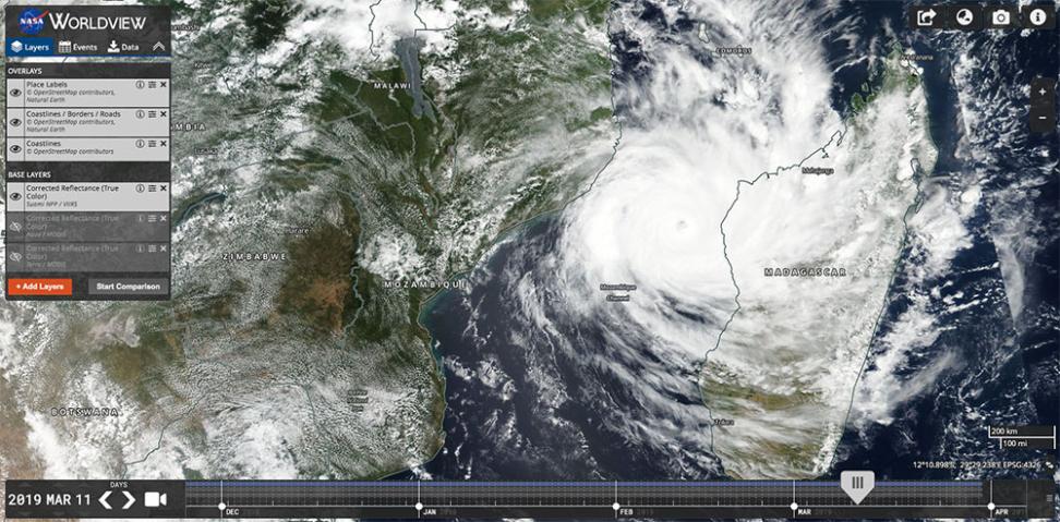
NASA's free map-tile service for more than 1,200 satellite imagery layers, many updated within hours of observation; Worldview is the browser viewer built on it.
open sourceopen dataAPIclosed participation
Volunteer-built open map database of the world, covering roads, buildings, land use and places, and the base layer for most models of places.
open dataopen participation
-
Meta's street-level photo platform: pictures people take with phones and action cameras, joined into street views, with detected traffic signs and street features as map data.
open dataAPIopen participation
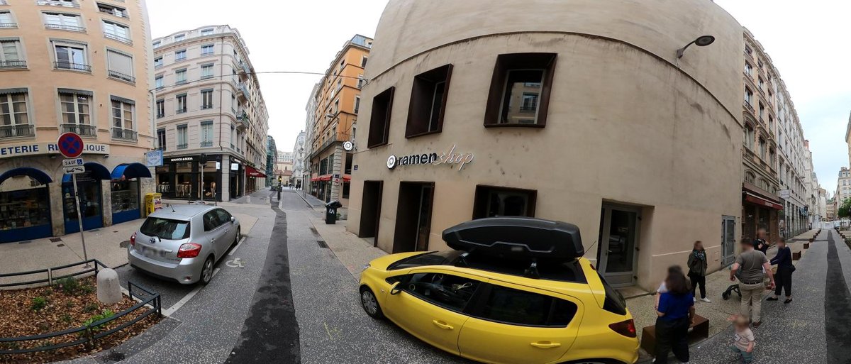
Open street-level photos held on many independent servers and searched through one catalogue; supported by France's IGN and developed with OpenStreetMap France.
open sourceopen dataAPIopen participation
-
Grab's street-level photo platform, collected by volunteers with phones and cameras to help improve OpenStreetMap; imagery under CC BY-SA 4.0.
open sourceopen dataAPIopen participation
-
Free, open world map data from the Overture Maps Foundation, released monthly in six themes (addresses, base, buildings, divisions, places, transportation) with stable IDs for joining other data.
open sourceopen datano APIpartly open participation
-
Free database built by machine-reading the world's news in over 100 languages: events since 1979, the people, places, themes and tone in each article, and search and map APIs.
open dataAPInone participation
-
Open-source weather API that returns forecasts from more than 30 weather models, and weather history back to 1940, as JSON for any coordinates; free for non-commercial use, data under CC BY 4.0.
open sourceopen dataAPIpartly open participation
-
Open standard for public transport data: routes, stops, timetables and fares (GTFS Schedule), and live delays, vehicle positions and alerts (GTFS Realtime). Maintained by MobilityData.
open sourceopen participation
-
The open standard in which shared bike, scooter, moped and car systems publish their stations, vehicles, availability and prices as JSON files; maintained by MobilityData.
open sourceopen participation
-
Open-source C++ routing engine that finds fastest routes, travel-time tables and map-matched GPS traces on road networks built from OpenStreetMap, for car, bicycle and walking.
open sourceopen dataAPIopen participation
Tags: 3d globe, live data, web, cesium, open source, voice