
Cities & places
City blocks is the symbol; pastel coral is the colour.
tools
-
Knowledge graph of urban climate adaptation plans from the Urban Tech Hub at Cornell Tech; AI agents read city plans and extract actions, hazards, outcomes and costs, each traced to its source sentence.
-
Open-source Android app from the non-profit Awana Digital for territory monitoring and mapping, co-designed with Indigenous communities; teams record observations on a map and share them peer to peer.
-
Tropocen's browser-based GIS for urban heat adaptation, with a 3D model of a city district, PALM-4U microclimate simulation and a planning editor for comparing cooling measures.
-
Google's family of geospatial AI models and agents, covering satellite imagery, weather, floods and population, reached through Google Earth, Earth Engine, BigQuery, Maps Platform and Google Cloud.
-
Experimental Gemini-based agent from Google Research that plans a multi-step spatial analysis, calls Earth AI models and geospatial data sources, and returns the result with its plan and sources shown.
-
Hosted mapping and visual positioning service from MultiSet AI that turns one drone flight over a site into a localisation map which drones, phones, headsets and robots then query for their position.
-
Catalogue from Niantic Spatial of 100 real-world environments captured as simulation-ready USDZ scenes, for training and testing robot policies in Isaac Sim and other OpenUSD simulators.
-
Google Research geospatial foundation model that turns aggregated search trends, place busyness, maps, weather and air quality into an embedding vector per postal code or county, for predicting local health, economic and environmental indicators.
-
Explores linked urban scenarios using a simulation engine and browser interfaces.
-
Models location choice, development and urban growth, with transport-model integration.
-
VU.CITY supplies 3D planning context; CLARA models urban environmental conditions.
articles
-
2023 editorial review by Yongze Song and colleagues of how geocomputation and GeoAI are used in mapping, with a taxonomy of mapping applications and of the data types that feed them.
books
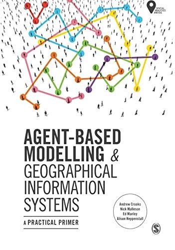
A practical primer from Crooks, Malleson, Manley and Heppenstall, 2019, on building agent-based models of people in places and linking them to GIS, with worked examples in NetLogo.
Edited volume from Heppenstall, Crooks, See and Batty, 2012, collecting the foundations, methods and applications of agent-based modelling of geographic systems.
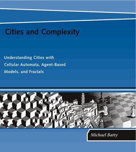
Michael Batty's 2005 account of modelling cities with cellular automata, agent-based models and fractals, the bottom-up methods under much of today's urban simulation.
-
Edited volume from Pourroostaei Ardakani and Cheshmehzangi, 2024, on digital twin concepts, strategies and case studies for urban planning and sustainability.
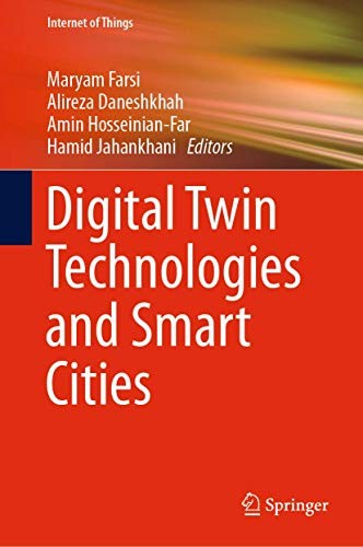
Edited volume from Farsi, Daneshkhah, Hosseinian-Far and Jahankhani, 2019, on using digital twins to monitor, diagnose and forecast city infrastructure, with attention to security.
-
Paul Cureton and Elliot Hartley's 2025 book on the tools now used to plan, map and design the built environment: urban digital twins, GeoBIM, collaborative geodesign, immersive environments and futures methods.
Michael Batty's 2018 book on why the future of cities can be invented but not predicted, and what that means for anyone who models them.
-
Open-access reference edited by Guo, Goodchild and Annoni, 2020, on the vision, technologies and uses of a digital model of the whole planet.

David Gelernter's 1991 book that first described software models of real places and institutions, fed by live data, that anyone could look into; the idea the digital twin of a place grows from.
James C. Scott's 1998 study of why large schemes to reorder nature and society from above have failed, and of the local knowledge their simplified maps leave out.
Michael Batty's 2013 argument that cities are flows and networks rather than fixed artefacts, with the models that follow from treating them that way.
Ben Green's 2019 argument that cities should use technology as a tool for democratic and equitable ends rather than treat it as the goal, with cases of smart-city projects gone wrong and alternatives.
-
Jay Forrester's 1969 system-dynamics model of a city as feedback loops among population, housing and industry, the first computer model to simulate a whole city's life cycle.
-
Open-access edited volume from Shi, Goodchild, Batty, Kwan and Zhang, 2021, on the data, methods and infrastructure used to sense, model and run cities.
digital twins
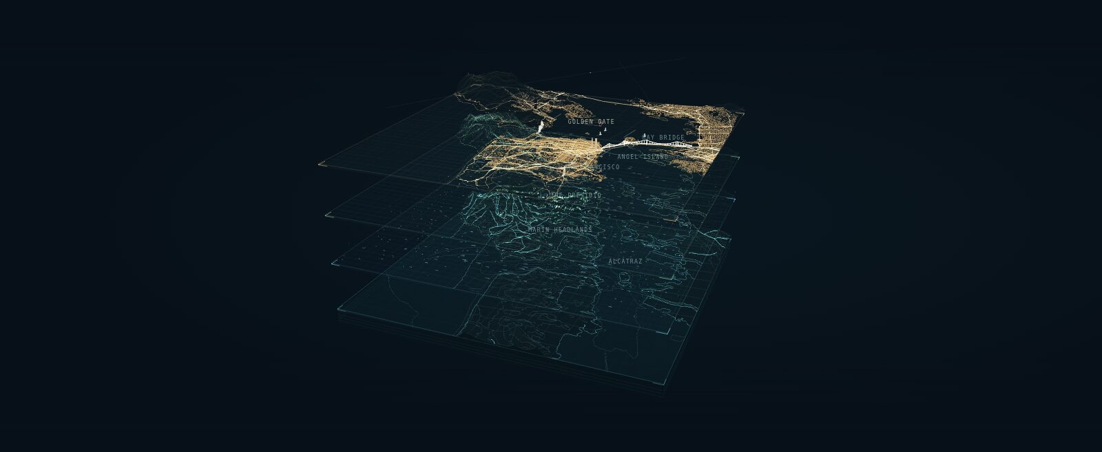
A layered portrait of San Francisco Bay that explains a digital twin as four shared geographic layers: earth and seabed, natural forces, living systems and the built world.
-
A shared 3D city representation with associated data and simulation applications.
-
Helsinki publishes city-model data and an energy atlas; Bologna is developing civic twin infrastructure.
-
Mehmet Kerem Turkcan's city-scale digital twin of New York City's five boroughs, compiled from public municipal records, with real-time rendering, traffic and pedestrian simulation and a CARLA-style Python API.
terms
-
The aim of predictive models of land, water, law and policy that ordinary people can run, question and argue with, rather than tools reserved for planners, companies and agencies.
-
Framework from the ecological design firm Biohabitats for asking, before a data center is designed, whether it belongs in a landscape at all, and how it relates to the watershed, habitat and community around it.
data sources
-
Benchmark from Google Research of open-ended GIS analysis problems written and cross-checked by geospatial experts, used to test how well an AI agent plans an expert-level spatial analysis.
-
Benchmark from Google Research of generated geospatial queries with known answers that require chaining one to four kinds of geospatial tool; used to test an AI agent's multi-step tool use and exact spatial computation.
-
Global map from One Earth and Nature Data Lab of lands and inland waters important for biodiversity, ecosystem services and climate, with land cover and conservation status, designed to be updated every year; launched September 2026 as a free web viewer.
-
Esri feature service in ArcGIS Living Atlas that serves iNaturalist's research-grade observations worldwide, refreshed monthly, with hexagon summaries at small scales.
-
Wikimedia Enterprise's open Parquet dataset joining about 17 million OpenStreetMap features to Wikidata items, Wikipedia and Wikivoyage articles, built by Michal Migurski.
-
Volunteer-built open map database of the world, covering roads, buildings, land use and places; the base layer most digital twins of places start from.
questions
-
How might zoning or transport investment change development and household location?
events
-
Special issue call from the journal Sustainability in Smart Cities (Bon View Publishing) on AI and smart-city methods for climate mitigation, adaptation and resilience at building, neighbourhood and city scale, digital twins among the listed topics; submissions due 1 June 2027.
stories
-
Scrolling story and playable water-allocation model of the Colorado River basin by Anselm Hook; readers set the flow, choose the cut rule and retire irrigation, then share the future they built as a link.
Symbol: "city block" by Savannah Vize, Noun Project, CC BY 3.0.