digital twin· proposed
Bay Layers
A layered portrait of San Francisco Bay that explains a digital twin as four shared geographic layers: earth and seabed, natural forces, living systems and the built world.
Cities & placesWaterLiving systems
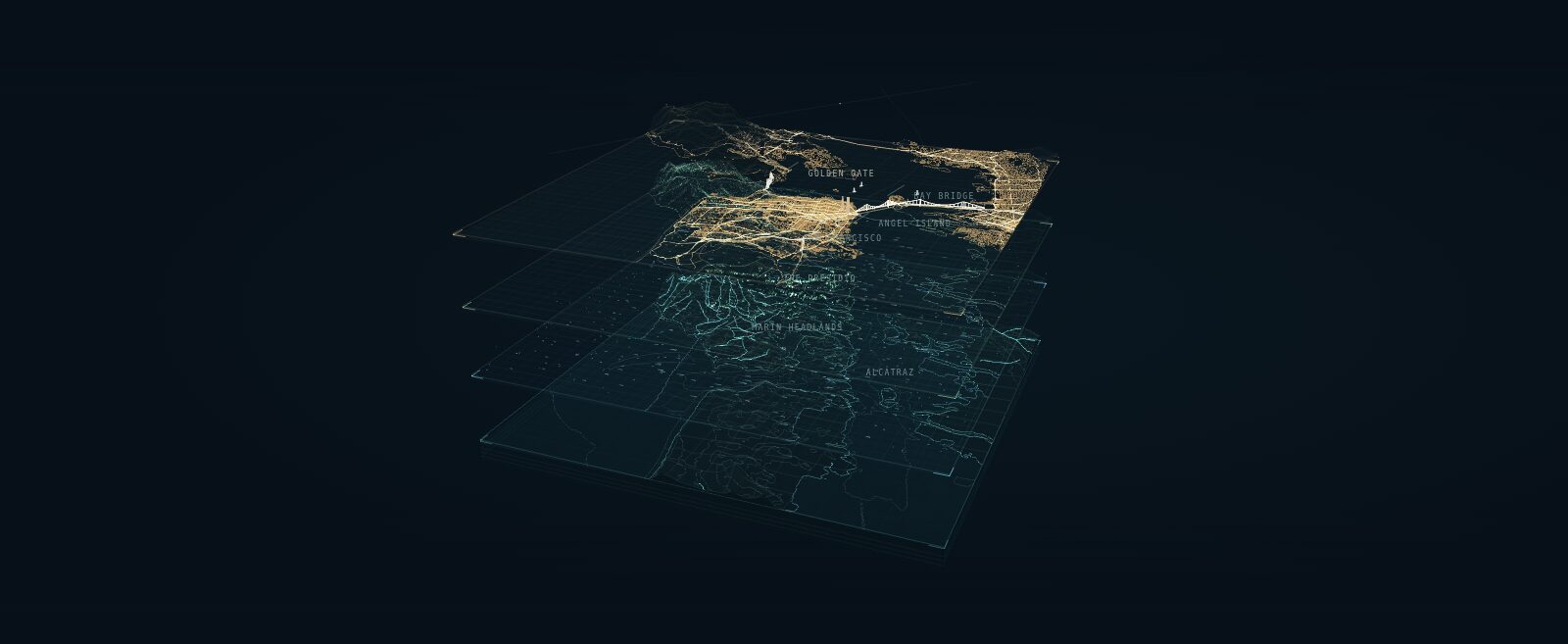
Bay Layers is an interactive Three.js scene that unfolds San Francisco Bay into four layers on shared geography: earth and seabed, natural forces, living systems and the built world. Drag to orbit, pick a layer to lift it out of the stack, scrub the day through night. It is the backdrop of this wiki's home page.
It is an explanation of what a twin is made of, not an operational twin. The terrain is a real NOAA elevation and bathymetry grid, exaggerated vertically. Buildings are footprint extrusions sampled from San Francisco municipal records and OpenStreetMap. Streets, street trees and Marin vegetation come from public records. Wind, currents, traffic, animals and the day and night cycle are illustrative, not observations. The scene's own "Behind the layers" panel lists every source and says which elements are mapped and which are drawn.
Data credits: NOAA, the Marin Fine Scale Vegetation Map, San Francisco municipal open data, EPA WATERS, and © OpenStreetMap contributors (ODbL). Three.js is vendored under its MIT licence.
- place
- San Francisco Bay
- scale
- Bay Area
- operational
- false
- homepage
- https://anselm.github.io/bay-area-twin/