data source · draft
Global Nature Watch
Website from the World Resources Institute, called Global Forest Watch until 2026, that publishes free global data, maps and alerts on forests and is widening to grasslands and farmland.
What is reusable: unknown sourceopen dataAPI unknownunknown participation The pages read call the data open and free but state no licence.
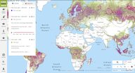
The World Resources Institute (WRI) is based in Washington, DC.2 The renaming from Global Forest Watch was announced on 1 July 2026, and nothing changes for users but the name.3 WRI began the programme in 1997 as a network of NGOs reporting on forests in Cameroon, Canada, Gabon and Indonesia.2 In 2014 it relaunched as an interactive online map with forest data for the whole world.2
The data published include:
- annual tree cover loss (the tenth yearly release came in 2024)2
- monthly and weekly deforestation alerts, which users can receive by email1,2
- the drivers of tree cover loss2
- maps of forest carbon emissions and removals2
- plantation data for 82 countries2
- pan-tropical primary forest data2
Rainforest Foundation US applied the forest carbon data with Indigenous communities seeking climate finance.2 The cocoa trader ECOM used it to reduce deforestation in its supply chain, and FOCEN to track forest pests in Mexico's Monarch Butterfly Biosphere Reserve.2 WRI cites an evaluation in which areas where Indigenous monitors had satellite data saw 52 percent less deforestation in a year.2
The data and tools are free to use online.2,3 A myGNW account keeps saved areas of interest, and alert subscriptions continue under the new name.3 Forest Watcher, a mobile app released in 2017, takes the data offline into the field.2 GFW Pro, released in 2019 for companies managing deforestation risk, is the first tool to be consolidated as WRI gradually merges its tools.2,3 A separate preview site, Global Nature Watch Horizon, holds AI-driven work under development.1,3
WRI reports more than nine million visitors since 2014.2 With the new name it is extending coverage beyond forests to grasslands, agricultural land and trees outside forests.3
- coverage
- global; forests, with grasslands, agricultural land and trees outside forests being added
- cadence
- annual tree cover loss data; monthly and weekly deforestation alerts
- access
- free online; a myGNW account saves areas of interest; email alert subscriptions
- format
- web map and dashboards, email alerts, the Forest Watcher mobile app for offline field use
- homepage
- https://globalnaturewatch.org/
contributors
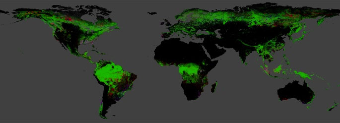
The University of Maryland's global 30 m maps of tree cover in 2000 and of the year forest was lost since, from Landsat imagery; updated yearly, free under CC BY 4.0.
open dataAPI
needed by
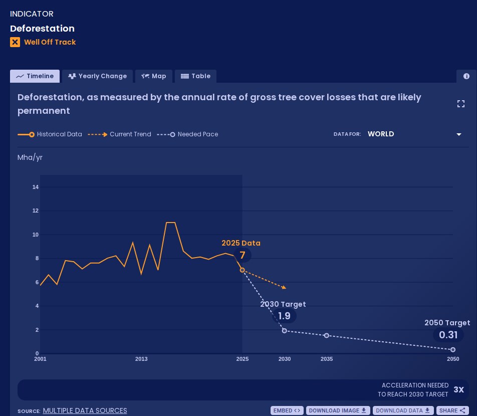
WRI and Bezos Earth Fund platform that measures global progress on more than 70 shifts, from power to forests, against targets for 2030 and 2050; data free under CC BY 4.0.
open data
-
Fires in Sumatra and Kalimantan, many of them set to clear land, spread through drained peat in dry El Niño years and send haze across Southeast Asia. 2026 is another such year. Which peat, rewetted or protected, would cut the smoke the most?
Tags: forests, deforestation, tree cover loss, alerts, satellite, land cover