
Sensory landscape
Senses is the symbol; pastel periwinkle is the colour.
stories
-
Aircraft noise changes how Pedregal frogs call and thins out their chorus.
data sources
-
Densely annotated underwater image datasets of Red Sea coral reefs from EPFL and partners for training segmentation models; V2 adds panoptic labels, 95 classes and fish instances, and is the training data behind DeepReefMap.
books
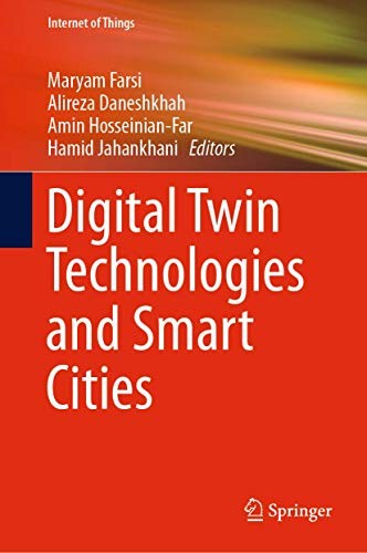
Edited volume from Farsi, Daneshkhah, Hosseinian-Far and Jahankhani, 2019, on using digital twins to monitor, diagnose and forecast city infrastructure, with attention to security.
-
Open-access edited volume from Shi, Goodchild, Batty, Kwan and Zhang, 2021, on the data, methods and infrastructure used to sense, model and run cities.
tools
-
Open object detector from the ConservationDronesAI group, built on RF-DETR, that finds people, mammals and vehicles in drone imagery for wildlife surveys and counts.
-
Open-source streaming 3D reconstruction model from the Robbyant team at Ant Group; turns a video or image sequence into camera poses, depth and point clouds in one feed-forward pass.
-
Hosted mapping and visual positioning service from MultiSet AI that turns one drone flight over a site into a localisation map which drones, phones, headsets and robots then query for their position.
-
Catalogue from Niantic Spatial of 100 real-world environments captured as simulation-ready USDZ scenes, for training and testing robot policies in Isaac Sim and other OpenUSD simulators.
-
NVIDIA's family of world foundation models and tools for physical AI; generates and reasons over video of the physical world for robot training, simulation and synthetic sensor data.
-
NVIDIA's open-source robotics simulator built on Omniverse and OpenUSD; used to train, test and validate robots in physically based virtual environments and to generate synthetic training data.
-
World model from Odyssey that generates an interactive 3D environment from a prompt and predicts how it changes as a person or agent moves and acts in it.
-
Universal Scene Description, the open 3D scene format and software platform created by Pixar and now stewarded by the Alliance for OpenUSD; the scene layer under NVIDIA Omniverse and many simulation pipelines.
-
Open-source family of wildlife detection models and tools from Microsoft's AI for Good Lab; MegaDetector finds animals, people and vehicles in camera-trap images, and PyTorch-Wildlife is the framework that runs it and its siblings for aerial and acoustic data.
-
Real-time underwater SLAM from the University of Michigan field robotics group that fuses learned stereo depth with IMU, pressure and Doppler velocity log measurements; developed and tested on shipwreck surveys.
-
Feed-forward 3D vision model from Meta AI and Oxford's Visual Geometry Group that predicts camera poses, depth and point clouds from video; used as a reconstruction backend in DeepReefMap for coral reef mapping.
questions
-
How do sound, light, smell and barriers affect people and other animals?
digital twins
-
Mehmet Kerem Turkcan's city-scale digital twin of New York City's five boroughs, compiled from public municipal records, with real-time rendering, traffic and pedestrian simulation and a CARLA-style Python API.
Symbol: "sensory" by mangunkarsa, Noun Project, CC BY 3.0.