
Weather & climate
Atmosphere is the symbol; pastel lavender is the colour.
books
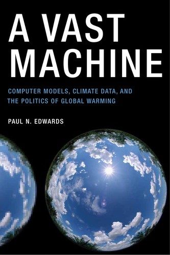
Paul Edwards's 2010 history of how climate knowledge is made from models and data together, from early weather observation to global climate simulation.
-
Open-access reference edited by Guo, Goodchild and Annoni, 2020, on the vision, technologies and uses of a digital model of the whole planet.
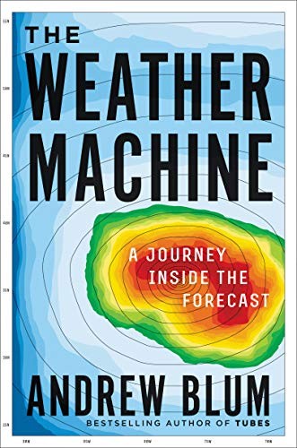
Andrew Blum's 2019 account of the global system of stations, satellites, supercomputer models and institutions behind the daily weather forecast.
tools
-
Knowledge graph of urban climate adaptation plans from the Urban Tech Hub at Cornell Tech; AI agents read city plans and extract actions, hazards, outcomes and costs, each traced to its source sentence.
-
ECMWF's machine-learning global weather model, run operationally beside its physics-based system since 2025; weights published openly.
-
Microsoft Research foundation model for the Earth system, fine-tuned for global weather, air pollution and ocean-wave forecasting; code and weights open under MIT.
-
Open-source Python library by James Adams that computes drought, fire and flood-potential indices such as SPI, SPEI, the Palmer family and KBDI from station or gridded precipitation and temperature.
-
Feature of Deltares' Delft-FEWS forecasting platform, from version 2026.02, that pulls Google Flood Hub river forecasts and flood status through Google's Flood Forecasting API so forecasters can compare them with their own models and observations.
-
Climate and extremes twins with supporting computing and data workflows.
-
Molecular atlas that links microbial genes and transcripts from wetland and coastal sediments to field measurements of methane, nitrous oxide and sulfur, as evidence for blue-carbon projects; contacts are at Ecosphere Blue, whose MethaNet product is built on it.
-
Tropocen's browser-based GIS for urban heat adaptation, with a 3D model of a city district, PALM-4U microclimate simulation and a planning editor for comparing cooling measures.
-
Google's family of geospatial AI models and agents, covering satellite imagery, weather, floods and population, reached through Google Earth, Earth Engine, BigQuery, Maps Platform and Google Cloud.
-
Experimental Gemini-based agent from Google Research that plans a multi-step spatial analysis, calls Earth AI models and geospatial data sources, and returns the result with its plan and sources shown.
-
Free public site from Google Research with riverine flood forecasts, flood maps and water trends for river basins in over 150 countries, updated daily; the same forecasts reach Search, Maps and Android and can be pulled by API.
-
AI weather model from Schmitt, Jain and co-authors that retrains ECMWF's AIFS on satellite precipitation observations to forecast rain more accurately at the local scale.
-
Ecosphere Blue's planned assessment service for blue-carbon projects, rating project performance with methane-risk projections drawn from microbial genomic evidence in mangrove sediment.
-
Weather prediction and supporting components, with different distribution and developer options.
events
-
Call for papers from Leonardo/ISAST for a focus section of the journal Leonardo on art, science and technology work about climate, environmental justice and ecological repair; manuscripts due 15 December 2026.
-
Special issue call from the journal Sustainability in Smart Cities (Bon View Publishing) on AI and smart-city methods for climate mitigation, adaptation and resilience at building, neighbourhood and city scale, digital twins among the listed topics; submissions due 1 June 2027.
organizations
-
Long-term monitoring network that resurveys permanent plots on European mountain summits; its 21 years of data underpin a 2026 Science study reporting rising local extinctions of alpine plants.
terms
-
A proposal for a foundation model trained on observations of the Earth itself, estimating the planet's current state and simulating how it responds to intervention.
-
A proposed social-science counterpart to Earth System Science, set out in The Anthropocene Crisis (Cambridge University Press), edited by Mathias Albert and Barry Buzan.
data sources
-
Map and dataset from Cornell researchers of about 1.8 million individual tree crowns in New York City classified to genus from PlanetScope satellite imagery and airborne lidar, including trees on private land and in natural areas; published August 2026.
questions
-
What conditions are likely next week, and how might a region's climate change over decades?
Symbol: "atmosphere" by rendicon, Noun Project, CC BY 3.0.