Movement & logistics
Rail junction is the symbol; pastel aqua is the colour.
stories
-
A live model of the roads spots a bus falling behind and helps staff change the signals ahead of it.
books
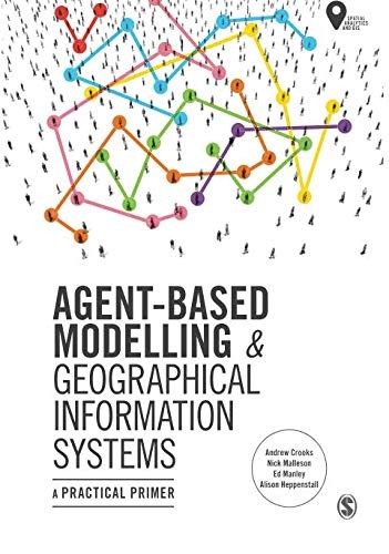
A practical primer from Crooks, Malleson, Manley and Heppenstall, 2019, on building agent-based models of people in places and linking them to GIS, with worked examples in NetLogo.
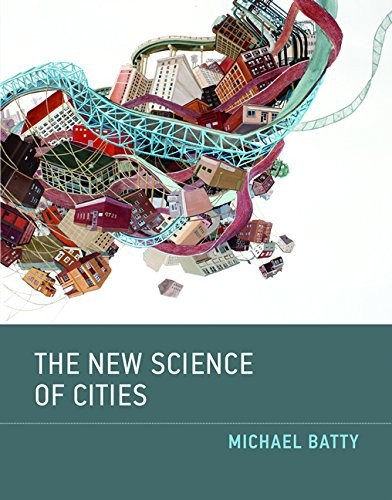
Michael Batty's 2013 argument that cities are flows and networks rather than fixed artefacts, with the models that follow from treating them that way.
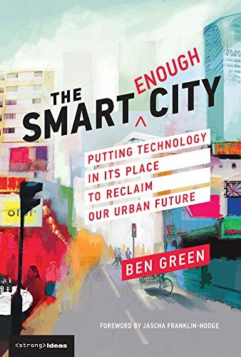
Ben Green's 2019 argument that cities should use technology as a tool for democratic and equitable ends rather than treat it as the goal, with cases of smart-city projects gone wrong and alternatives.
-
Open-access edited volume from Shi, Goodchild, Batty, Kwan and Zhang, 2021, on the data, methods and infrastructure used to sense, model and run cities.
tools
-
Transport simulation and operational traffic prediction.
-
Simulates road vehicles, public transport and pedestrians on large networks.
-
Large-scale agent-based transport modeling, including travel demand and replanning.
-
World model from Odyssey that generates an interactive 3D environment from a prompt and predicts how it changes as a person or agent moves and acts in it.
-
Modeled travel activity and scenario tools for transport and regional planning.
data sources
-
Volunteer-built open map database of the world, covering roads, buildings, land use and places; the base layer most digital twins of places start from.
questions
-
Where will vehicles go after a closure, and can signal changes help a late bus?
digital twins
-
Mehmet Kerem Turkcan's city-scale digital twin of New York City's five boroughs, compiled from public municipal records, with real-time rendering, traffic and pedestrian simulation and a CARLA-style Python API.
Symbol: "train junction" by Worakamon Saykajarn, Noun Project, CC BY 3.0.